Click here to start
Table of contents
Using PostGIS and MapServer in the Census Interaction Data Service
Contents
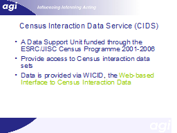
Census Interaction Data Service (CIDS)
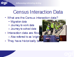
Census Interaction Data
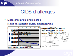
CIDS challenges
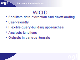
WICID
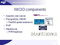
WICID components
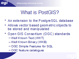
What is PostGIS?
What is MapServer?
Why did we select PostGIS and Mapserver?
How do we use these tools?
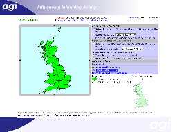
Slide 12
Slide 13
Slide 14
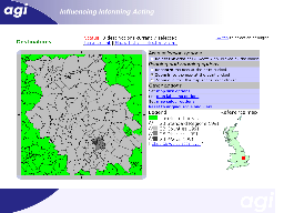
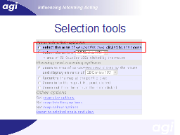
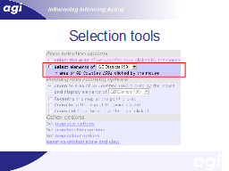
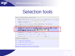
Selection tools
Slide 16
Slide 17
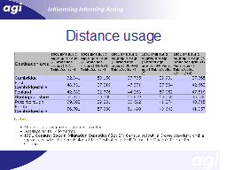
Distance usage
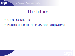
The future
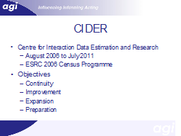
CIDER
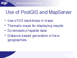
Use of PostGIS and MapServer
Slide 22