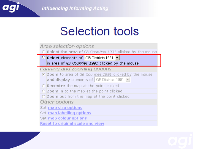


This option allows users to select component areas of the are that has been clicked.
In this example, the most detailed geography currently being displayed is ‘counties’. Clicking on a couty will add all the districts in that county to the selection set. Thus for example, clicking Inner London adds the 14 Boroughs of Inner London to the set of selected areas.
The pull-down box allows the output geography to be changed. For example, if this was changed to ‘wards’, then clicking it would cause the 336 wards of Inner London to be added to the selection set.