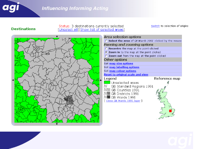


This example illustrates selecting areas at a variety of spatial scales.
Here, the following areas are selected:
Cambridgeshire county
Cambridge district
Newnham ward
We want to be able to display to the user multiple spatial scales simultaneously, but this has obvious problems where one area may overlap other selected areas.