


Context for our use of PostGIS & MapServer
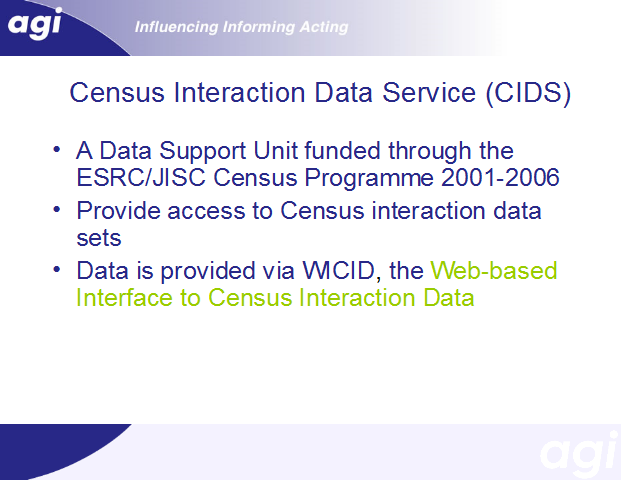
CIDS is one of the Data Support Units funded through the ESRC/JISC Census Programme. We provide access to the Census interaction data to the UK academic community.
We do this through a web-based interface called WICID.