


Challenges include:
Authentication (cf presentation by Lucy Bell at this conference) - necessary both due to licensing conditions of the data, and also limiting use of computing resources to UK academia.
Adding value - data are likely to be available from other sources over the web, therefore we must use our expertise as academics to add value to the data
Accessibility (cf presentation by Stuart Smith on SENDA at this conference) - the interface must be usable by all
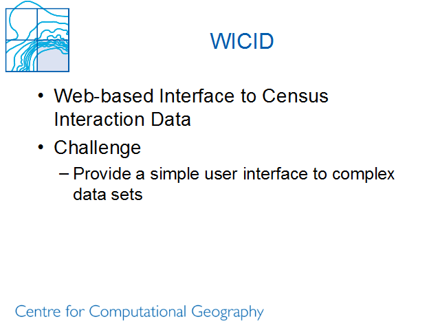
Ease of use: Challenges include:
Adaptive interface: the options provided to the user at any point reflect choices made earlier; e.g. if ward based geography bas been selected (fine detail) then do not offer data to the user that is only available for the (coarser) district geography.
Supplementary options: add options that relate only to a single data set whenever data from the relevant set are selected
Software
We prefer open source solutions as they offer greater flexibility and ability to distribute software as we like.
WICID is based on Apache, PHP and PostgreSQL
Mapping is likely to be provided via GeoTools <http://www.geotools.org>