Flow Data Information System
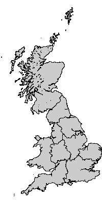
Geography: GB Standard Regions 1991
Digital boundary data: This work is based on data provided with the support of the ESRC and JISC and uses boundary material which is copyright of the Crown, the Post Office* and the ED-LINE Consortium
Geography consists of 10 areas.
Available label styles
- Standard Region name
(e.g:North,Yorkshire and Humberside,East Midlands)
[Generate list of all labels]Relationship to other geographies - defined hierarchies
- 1991 Census hierarchy
1 Great Britain
= 3 GB Countries 1991
= 10 GB Standard Regions 1991
= 67 GB Counties 1991
= 459 GB Districts 1991
= 10933 GB Wards 1991
Relationship to other geographies - aggregation
- GB Standard Regions 1991 can be constructed out of:
- GB Standard Regions 1991 can be aggregated into:
- GB Countries 1991
- Great Britain