Flow Data Information System
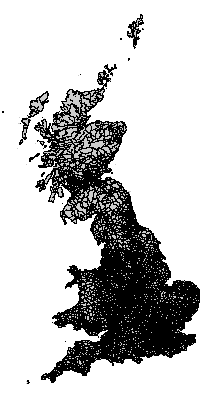
Geography: GB Wards 1991
Digital boundary data: This work is based on data provided with the support of the ESRC and JISC and uses boundary material which is copyright of the Crown, the Post Office* and the ED-LINE Consortium
Geography consists of 10933 areas.
Available label styles
- Ward name
(e.g:Aldersgate,Aldgate,Bassishaw) - OPCS/ONS code
(e.g:01AAFA,01AAFB,01AAFC)
[Generate list of all labels]Relationship to other geographies - defined hierarchies
- 1991 Census hierarchy
1 Great Britain
= 3 GB Countries 1991
= 10 GB Standard Regions 1991
= 67 GB Counties 1991
= 459 GB Districts 1991
= 10933 GB Wards 1991
Relationship to other geographies - aggregation
- GB Wards 1991 can be constructed out of:
- GB Wards 1991 can be aggregated into:
- GB Districts 1991
- GB Counties 1991
- GB Standard Regions 1991
- GB Countries 1991
- GB Parliamentary Constituencies 1997
- GB 1997 General Election - Results
- GB 1997 General Election - Swing
- GB Standard Region Urban / Rural components
- DETR 99 zone system
- Great Britain
- CIDS 1991/2001 common geography - 'districts'
- CIDS 1991/2001 common geography - 'intermediate'
- CIDS 1991/2001 common geography - '100 zones'
- CIDS 1991/2001 common geography - 'city regions'